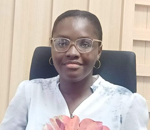
Presentation of the Google Research team in Ghana work that uses high-resolution satellite imagery and computer vision to calculate continent-wide data for Africa. The presentation will go over labeling and modeling techniques used, the footprint, and potential social good use for the footprint generated.

