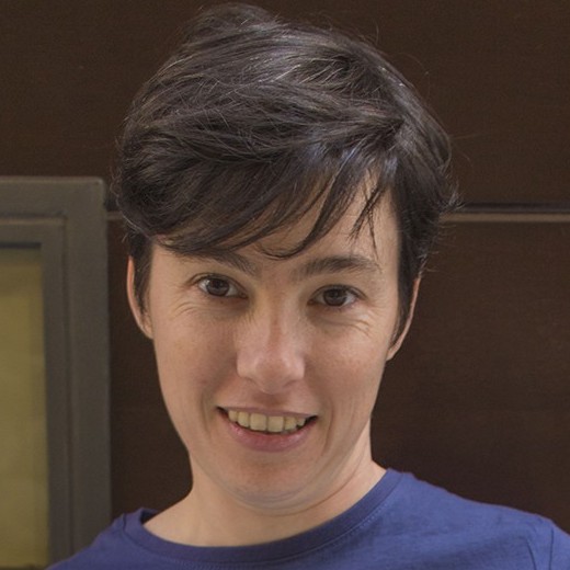
Christina Corbane received her Ph.D. degree in remote sensing applied to earth sciences and environmental sciences from the Université Montpellier II, Montpellier, France.
Her academic and professional background is in remote sensing and spatial analysis applied to the study of earth’s environment and to key disaster management and security issues. In particular, she worked on the development of a prototype for automatic ship detection from remote sensing imagery and on a rapid urban mapping model between 2007 and 2009 as part of her appointment at the Institut de Recherche pour le Développement (IRD).
From 2009 to 2012, she worked as a Scientific and Technical Officer with the Joint Research Centre of the European Commission (JRC) and was responsible for the development of methodologies for the validation of rapid geo-information for disaster management.
From 2012 to 2014, she joined the National Research Institute of Science and Technology for Environment and Agriculture (Irstea), Montpellier, France, to conduct research in mapping and monitoring of natural habitats with earth observation data.
Between 2014 and 2016, she was involved in research activities at the JRC related to disaster risk reduction and Pan-European risk assessment.
Her current responsibilities involve, artificial intelligence and big earth data processing for assessing the fitness for purpose of Sentinel-1 and Sentinel-2 for global human settlement and land cover mapping.


